
Last updated October 13, 2026
Everest Death Map: Bodies, Fatalities & Deadliest Zones
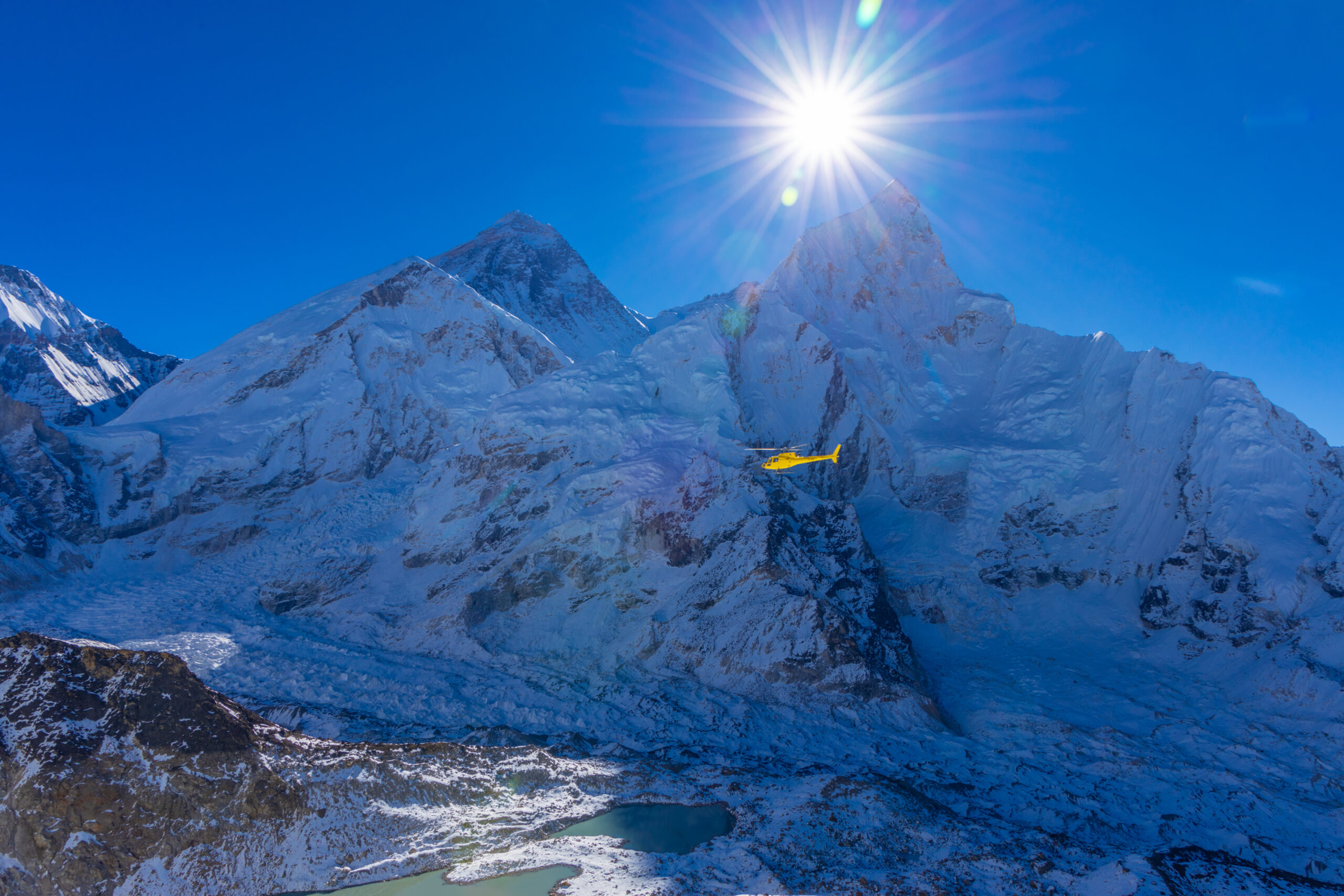
Everest deaths are not spread evenly across the mountain. The closed historical series records 339 fatalities through December 2025, with five additional deaths reported in spring 2026. The useful map is therefore not a collection of body pins—it is a map of where avalanche exposure, route preparation, extreme altitude, summit-day exhaustion and descent risk repeatedly concentrate.
Fatality Geography Changes With Route, Altitude and Role.
On the Nepal side, recurring fatality zones include the Khumbu Icefall, Lhotse Face/Camp III, South Col and upper Southeast Ridge. On the Tibet side they include the North Col, high camps, First and Second Step area, Green Boots cave area and upper Northeast Ridge.
The route totals through 2025 are 195 deaths on the Southeast Ridge family, 74 on the Northeast Ridge, 34 on other south-side routes and 36 on other north-side routes. Raw totals partly reflect how much traffic each route has carried.
The newest research adds a critical layer: modern climber fatalities tend to occur much higher than Sherpa fatalities because clients concentrate their exposure on summit day while hired workers repeatedly enter lower objective-hazard zones during route preparation.
Everest Death Map: Nepal & Tibet Route Zones
Tap a route point to see why that elevation repeatedly appears in fatality history. The dots are hazard/fatality zones—not individual deaths or body coordinates.
Route zones—not GPS pins for bodies
The mountain drawing is an interactive elevation schematic, not a georeferenced fatality-location map. Each point represents a known climbing zone where hazards and fatal incidents have been described, not a confirmed location for one person.
Two Standard Routes, Two Exposure Patterns
Route elevations follow Himalayan Database reference milestones. Both routes meet at the 8,849 m summit, but the lower mountain and route-preparation hazards are different.
Tap the mountain to explore fatality geography.
The map explains why each zone matters without pretending there is an exact death count for every dot.
Where on Everest are these routes?
The satellite map locates Mount Everest on the Nepal–Tibet border. Use it to understand the terrain surrounding the peak. The marker identifies the summit only: it is not a casualty, a recovered body, a death count, or a safe route waypoint.
- South: Nepal approach via the Khumbu Icefall, Western Cwm, Lhotse Face and South Col.
- North: Tibet approach via the Rongbuk Glacier, North Col and Northeast Ridge.
- Limitation: the geographic placement of most individual fatalities cannot be independently confirmed to precise coordinates.
Approximate Everest summit: 27.9881° N, 86.9250° E. Map is for geographic context, not climbing navigation.
Everest Fatalities by Route Family
These four route families reconcile to the 339-death historical series. Raw deaths are not the same thing as route-specific probability because traffic differs enormously.
| Route family | Deaths | Share | Interpretation |
|---|---|---|---|
| Southeast Ridge · Nepal | 195 | 57.5% | Largest raw total and by far the busiest commercial route family. |
| Northeast Ridge · Tibet | 74 | 21.8% | Standard north route with historically less traffic than Nepal. |
| Other south routes | 34 | 10.0% | Technical and non-standard Nepal routes with much lower traffic. |
| Other north routes | 36 | 10.6% | Technical north-side routes and historical variations. |
| Total | 339 | 100% | Closed historical series through December 2025. |
Workers Cross Lower Objective-Hazard Terrain Again and Again.
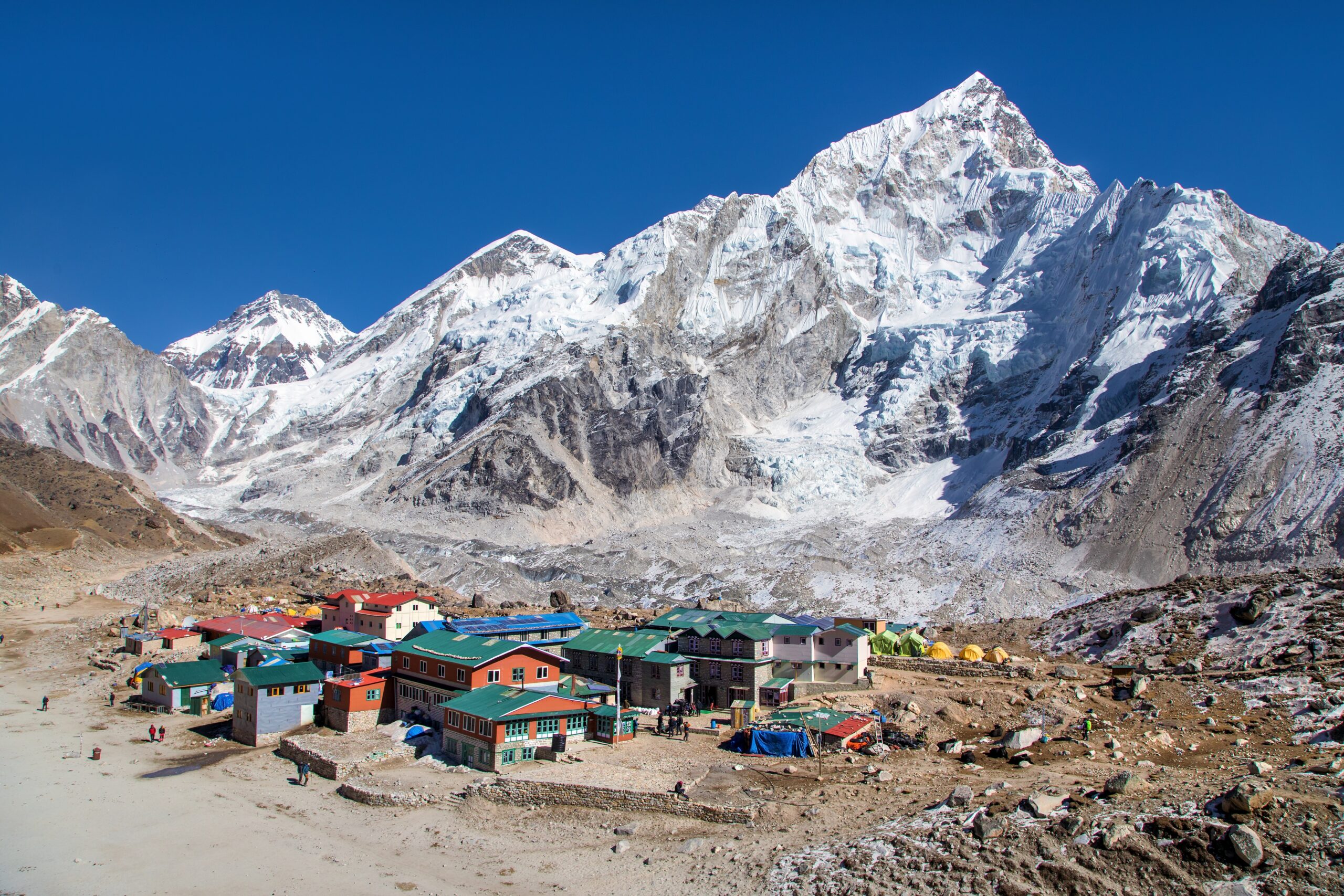
Clients and workers can climb the same route while accumulating very different exposure. The Khumbu Icefall is the clearest example: route-establishing and load-carrying work requires repeated passages before most client summit bids begin.
What Can an Everest Death Map Actually Verify?
A trustworthy map distinguishes documentary evidence from estimates. Route labels and incident narratives are often available; body coordinates and recovered-remains inventories generally are not.
Recorded fatalities and route sides
The 339-death closed series through 2025 and its 229 Nepal / 110 Tibet side counts come from Alan Arnette’s Himalayan Database-derived 2026 edition. Side totals and individual case reporting are stronger evidence than body-location anecdotes.
Route zones and approximate elevations
A named camp, ridge, pass or height quoted in an incident report can usually establish a general zone. Altitudes may be estimates. Summit-era photos and route descriptions are not surveyed mortality coordinates.
Exact body positions and present recovery status
Glacier flow, snowfall, relocations and recovery operations change what can be seen. The familiar “200+ bodies” figure is a broad media estimate, not a body-by-body Everest census.
Additional source: Dodge and colleagues (2026), Journal of Physiology covers mortality patterns through 2024, a different window from the 2025 route totals. This page does not combine them into one dataset.
Climbers and Sherpas Face Different Fatality Geography
On standard routes from 2007–2024, the mean altitude and stage of fatal incidents differed sharply by role.
Fatal incidents concentrate higher.
Extreme hypoxia, exhaustion, impaired consciousness, exposure and descent dominate the modern summit-day pattern. The mean altitude is close to the 8,000 m Death Zone threshold.
Fatal incidents concentrate lower.
Repeated route fixing, equipment carries and crossings of lower objective-hazard terrain change the geography. The risk is not simply “less altitude”; it is a different job on the mountain.
What Causes Death on Everest?
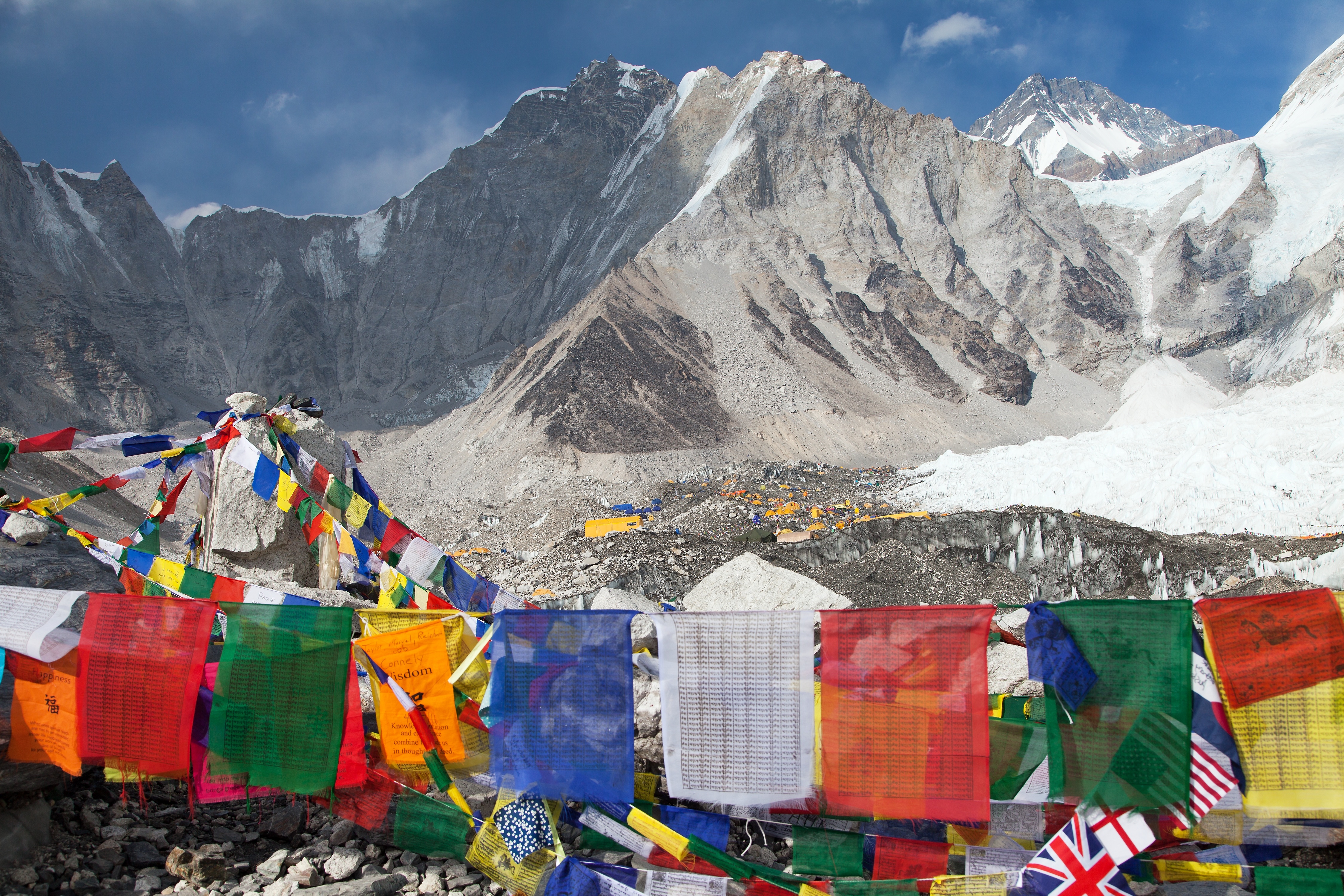
The largest recorded categories show why “the Death Zone” is not a cause. Everest kills through objective hazards, falls, altitude illness, exhaustion, exposure and other medical events.
Avalanche, Icefall and Crevasse
These categories explain why fatal risk cannot be reduced to oxygen deprivation above 8,000 metres. A large objective-hazard component sits much lower on the route.
Falls, AMS, Exhaustion and Exposure
As altitude rises, impaired movement, judgment, consciousness, cold tolerance and ability to self-rescue become increasingly important.
Five Additional Everest Deaths
All five reported 2026 fatalities occurred on the Nepal side. They are included in the provisional running total but not retrofitted into the 339-death route and cause tables before database reconciliation.
| Date | Person | Role / nationality | Reported location / circumstance |
|---|---|---|---|
| May 3 | Lakpa Dendi Sherpa | Nepali guide / worker | Died on the approach from Gorak Shep toward Base Camp at about 5,200 m. |
| May 10 | Bijaya Ghimire Bishwakarma | Nepali high-altitude worker | Died while ascending from Base Camp through the lower route / Khumbu Icefall area. |
| May 11 | Phura Gyaljen Sherpa | Nepali climber / worker | Slipped and fell near the Lhotse Face below Camp III, around 7,000 m. |
| May 22 | Sandeep Are | Indian climber | Died while descending after summiting; high-altitude illness was reported. |
| May 22 | Arun Kumar Tiwari | Indian climber | Died while descending after summiting; high-altitude illness was reported. |
Everest Fatality Timeline
Individual deaths tell personal stories; major incidents show how the geography of risk has shifted with routes, commercial climbing and worker exposure.
The first recorded Everest deaths
Seven porters were killed in an avalanche during the British expedition, establishing objective hazard as part of Everest history before any successful summit.
George Mallory and Andrew Irvine disappear high on the Northeast Ridge
Mallory’s body was found in 1999; whether either man reached the summit before dying remains unresolved.
Eight climbers die in the May storm
The South Col and Northeast Ridge disasters become a defining examination of summit timing, commercial guiding, communication and descent decisions.
Sixteen high-altitude workers die in the Khumbu Icefall
A serac collapse highlights the disproportionate repeated exposure carried by workers establishing and supplying the Nepal route.
Earthquake-triggered avalanche strikes Base Camp
The catastrophe demonstrates that a major Everest fatality event can occur far below the Death Zone and outside a summit bid.
Eighteen deaths in the season
A record seasonal toll arrives in an era when the individual mortality rate is nevertheless far lower than in early Everest history.
Five deaths, split between lower-route work and summit descent
The season itself reflects the role-based geography described in the new mortality research.
Fatalities That Changed How Everest Is Understood
The point of a death map is not to reduce people to red markers. These cases changed route history, public understanding or the way risk is discussed.

George Mallory
Mallory and Andrew Irvine vanished during the 1924 summit attempt. Mallory’s body was discovered in 1999 at roughly 8,155 m. The uncertainty over whether the pair summited is a reminder that the exact circumstances of a high-altitude death can remain unresolved for generations.
Public-domain portrait · Wikimedia Commons
%201984%20Cropped.jpg?width=800)
Scott Fischer
Fischer, leader of the Mountain Madness team, died high on the Southeast Ridge during the May 1996 storm. The disaster became one of the central case studies in commercial Everest decision-making and summit-day descent risk.
Photo: Wes Krause · CC BY-SA 3.0 · Wikimedia Commons
Rob Hall
Hall led Adventure Consultants and died near the South Summit after remaining high on the mountain during the 1996 storm. His final radio communications became one of Everest’s most widely documented human stories.
Francys Arsentiev
Arsentiev died after becoming separated and incapacitated high on the north side. Her case became associated with the ethical limits of rescue above 8,000 m, where even strong climbers may be unable to move another person safely.
David Sharp
Sharp died near the Green Boots cave area while multiple teams were moving through the route. The circumstances fueled lasting debate over rescue responsibility, crowding and how difficult it is to recognize a survivable emergency in the Death Zone.
Sixteen High-Altitude Workers
The April 18 serac collapse killed sixteen Nepali guides and workers while they were preparing the route. The event shifted global attention toward who bears repeated objective-hazard exposure before clients begin their summit bids.

Knowing Where a Body Is Does Not Mean It Can Be Safely Recovered.
High altitude, technical lowering, weather, route exposure and the condition of frozen remains can place recovery teams at significant additional risk.
Photo: Vyacheslav Argenberg · CC BY 4.0 · Wikimedia Commons
Recovery Difficulty Changes With Elevation
There is no verified live inventory by altitude. These zones explain why some recoveries are practical while others can require a full high-altitude expedition.
Most recoverable
Road, trail and helicopter access are still constrained by terrain and weather, but evacuation is fundamentally different from the upper mountain.
Moving glacier terrain
Crevasses and ice movement can hide or relocate remains. Recovery teams must enter objective-hazard terrain rather than simply travel to a fixed coordinate.
Technical high-altitude recovery
Steep ice, fixed ropes, long carries and reduced worker capacity make lowering a body a serious climbing operation.
Extreme recovery risk
Teams operate in the same hypoxic environment that contributes to summit-day fatalities. A recovery may demand extra climbers, oxygen, ropes, multiple carries and a suitable weather window.
The Identity Story Changed. The Recovery Is Not Yet a Closed Fact.
The body long known as Green Boots sits near the Northeast Ridge route around 8,530 m. For decades it was widely described as Tsewang Paljor; Indian authorities now believe it is Dorje Morup.
Three members of the Indo-Tibetan Border Police expedition die high on Everest
Tsewang Smanla, Tsewang Paljor and Dorje Morup die during the same storm that kills climbers on the south side.
“Green Boots” becomes a Northeast Ridge landmark
The remains in a limestone shelter are widely identified in books and climbing culture as Paljor.
India says it believes the body is Dorje Morup
ITBP evidence and later reporting shift the presumed identity. Public reports conflict on whether DNA confirmation is complete, so the careful wording remains “Indian authorities believe.”
A specialist recovery is planned
India begins seeking a high-altitude recovery team. The remains are on the Tibet side, so the mission also depends on Chinese access and a workable weather window.
Everest Is Safer Per Climber—While the Cumulative Death Count Keeps Rising
Those statements can both be true because vastly more people climb Everest now than during the first eight decades of expedition history.
The 2026 Journal of Physiology study found overall mortality above Base Camp halved when 1921–2006 was compared with 2007–2024.
On standard spring routes, climber mortality during summit descent fell substantially between the 1982–2006 and 2007–2024 periods.
Systems Matter
Modern fixed-route infrastructure, forecasting, communications, supplemental oxygen, higher staffing levels and more developed rescue coordination can reduce individual risk.
Exposure Volume Matters
Alan Arnette’s 2026 Himalayan Database-derived summary records 13,737 Everest summits through 2025. A lower percentage applied to a much larger climbing population still produces additional fatalities over time.
Risk, Decisions, Workers & Expedition Systems
Everest Death Rate
Compare denominators instead of confusing cumulative fatalities with an individual chance of dying.
Open death-rate analysis → Summit dayEverest Summit-Day Failures
See where decision failures, exhaustion, oxygen problems and descent delays develop.
Analyze summit-day patterns → Lower-route hazardKhumbu Icefall Risk
Serac collapse, crevasses, route timing and repeated worker exposure.
Open Icefall analysis → Parent mountainMount Everest Climbing Guide
Routes, seasons, logistics, altitude, operators and climb planning.
Open Everest → Expedition systemsEverest Operators
Compare staffing, oxygen, support systems and guide models.
Compare operators → Worker exposureSherpa Pay & Everest Economics
Understand the labor system behind repeated route preparation and load carries.
Read worker context → Global comparisonDeath Rates by Mountain
Compare Everest with K2, Annapurna, Denali and other major peaks without mixing denominators.
Compare mountains → WeatherMountain Weather for Climbers
See how wind, timing, freezing level and forecast uncertainty change exposure in high-consequence terrain.
Read weather →Everest Death Map FAQ
How many people have died on Mount Everest?
This page uses a closed Himalayan Database-derived series of 339 Everest deaths through December 2025. Five more fatalities were confirmed during the 2026 spring season, producing a provisional running total of 344 while those five remain outside the closed route and cause tables.
Where do most people die on Everest?
The Nepal Southeast Ridge has the largest raw route total, with 195 deaths through 2025. Recurring zones include the Khumbu Icefall, Lhotse Face, South Col and upper Southeast Ridge, plus the North Col, high camps and upper Northeast Ridge on the Tibet side.
Is there a map of dead bodies on Everest?
There is no authoritative current map with verified coordinates for every unrecovered body. This page maps route geography and recurring fatality zones rather than creating false precision around human remains.
How many bodies remain on Everest?
More than 200 are widely reported to remain, but there is no live audited inventory. Remains can be buried, exposed, moved by glacier ice, relocated away from the route or recovered by cleanup teams.
Do 60% of Everest deaths happen on descent?
No—not if the denominator is all recorded Everest deaths. The closed 1922–2025 series records 98 of 339 deaths, about 29%, on descent from a summit bid. A BMJ study found 53 of 94, or 56%, on descent within the narrower subset who died after climbing above 8,000 metres.
Are Sherpas more likely to die lower on Everest?
Modern standard-route data show a lower mean fatal-incident altitude for Sherpas than climbers: about 6,894 m versus 7,970 m. The 2026 study found most climber deaths occurred on summit day while most Sherpa deaths occurred during route preparation.
Who is Green Boots?
For many years Green Boots was widely identified as Tsewang Paljor. In 2026 the Indo-Tibetan Border Police said it believes the remains are those of Dorje Morup, another climber from the same 1996 expedition. Public reporting remains inconsistent about whether the identity has been conclusively confirmed by DNA.
Has Green Boots been recovered in 2026?
Not in the current reporting available as of September 3. India has been preparing a specialist recovery effort, but the body lies on the Tibet side and the operation depends on access, weather and Chinese approval.
Is Everest getting safer?
By individual mortality rate, yes. The 2026 Journal of Physiology study found mortality above Base Camp fell from 1.4% in 1921–2006 to 0.7% in 2007–2024, while climber summit-descent mortality on standard spring routes fell from 3.0% to 0.8%.
Look for Exposure Patterns, Not Famous Bodies.
The geography tells a clearer story than any sensational body map: objective hazard and repeated worker exposure lower on the mountain, extreme physiological deterioration and descent risk higher up, and route-specific terrain on both sides. The dead deserve more than a pin; the living need to understand why those zones keep becoming fatal.
How Everest Compares to the Deadliest Mountains
One peak is only one denominator. See how Everest compares with the other deadliest mountains, or step up to the ranked overview and the full collection.
Explore Everest Deaths, Disasters and Climbing History
The Everest Death Map provides the geographic record of fatalities on the mountain. Explore the major disasters, historic expeditions and fatality research that give those locations their wider context.
How Everest Compares to the Deadliest Mountains
One peak is only one denominator. See how Everest compares with the other deadliest mountains, or step up to the ranked overview and the full collection.
Explore Everest Deaths, Disasters and Climbing History
The Everest Death Map provides the geographic record of fatalities on the mountain. Explore the major disasters, historic expeditions and fatality research that give those locations their wider context.
Was this helpful?
🏔Related safety data
🧭Explore & compare
Global Summit Guide is an independent mountaineering resource founded in 2026. The team combines first-hand trekking and climbing experience with in-depth research and professional health and nutrition review to help climbers choose objectives, prepare properly, and stay safe.
Health, altitude, and nutrition content is reviewed by Taylor Ludlow (Registered Nurse) and Brigg Hoopes (Nutritionist).
What We Don't Know Yet
Mountain information changes quickly. This box explains the limits of what this page can responsibly promise.
- Visa, passport, vaccination, border, insurance, and local transportation rules may change before your trip.
- Route conditions, snowpack, closures, and weather can change quickly after this page is updated.
- Permit rules, fees, quotas, and reservation windows may change between review cycles.
- Operator availability, pricing, guide ratios, and cancellation terms can change by season.
- Your fitness, altitude response, risk tolerance, and experience level may change what is safe or realistic.
Verify current conditions with official land managers, guide services, local forecasts, and current route reports before booking or climbing.
Mountaineering, rock and ice climbing, glacier travel, and high-altitude activity are inherently dangerous and can result in serious injury or death. The information on Global Summit Guide is provided for general informational and educational purposes only and is not a substitute for professional instruction, qualified guiding, proper equipment, or your own judgment and experience.
Route conditions, weather, snowpack, permits, regulations, and hazards change constantly and may differ from what is described here. Details may be incomplete, out of date, or contain errors. Always verify current information with local authorities, certified guides, and official sources before making any decision in the mountains.
Nothing on this site is medical, legal, or financial advice. Our fitness, acclimatization, altitude, and nutrition content is general in nature; consult a qualified physician before beginning any strenuous exercise program or exposing yourself to high altitude.
You are solely responsible for your own safety and decisions. To the fullest extent permitted by law, Global Summit Guide and its team accept no liability for any loss, injury, damage, or expense arising from use of, or reliance on, this information. By using this site you acknowledge these risks and accept these terms.
Some links on this site may be affiliate links. If you buy through them we may earn a small commission at no extra cost to you; this never affects our recommendations.
Global Summit Guide recommendation path
Next Best Mountain to Research
Use these recommendations to continue the right planning path instead of stopping on one page.
Use current permit, weather, route, and operator information before booking or climbing.